-
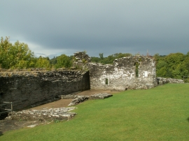
Remains of Cilgerran Castle west tower
-

The Avon Teifi from the ruins of Cilgerran Castle
Remains of Cilgerran Castle west tower
The Avon Teifi from the ruins of Cilgerran Castle
Location and coordinates are for the approximate centre of Coed Gwastad within this administrative area. Geographic features and populated places may cross administrative borders.