-

View to Blaenllechau from hillside above Ferndale
-
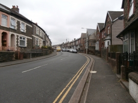
North Rd, Ferndale
View to Blaenllechau from hillside above Ferndale
North Rd, Ferndale
Location and coordinates are for the approximate centre of Coed Graig Uchaf within this administrative area. Geographic features and populated places may cross administrative borders.