-
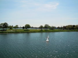
Model boats on Cockle Pond
-
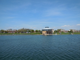
Caf
Model boats on Cockle Pond
Caf
Location and coordinates are for the approximate centre of Cockle Pond within this administrative area. Geographic features and populated places may cross administrative borders.