-
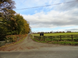
Entrance to Cocken White House Farm
-
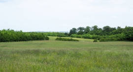
Field with bushes and trees beyond
Entrance to Cocken White House Farm
Field with bushes and trees beyond
Location and coordinates are for the approximate centre of Cocken Ride within this administrative area. Geographic features and populated places may cross administrative borders.