-

Bus shelter, Nympsfield
-
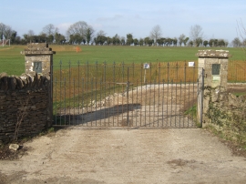
King Geoge V Playing Fields
Bus shelter, Nympsfield
King Geoge V Playing Fields
Location and coordinates are for the approximate centre of Cockadilly within this administrative area. Geographic features and populated places may cross administrative borders.