-

Nicholl's Cottage, Roadend Farm
-
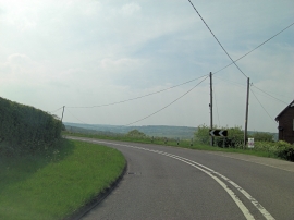
B2089 northwest of Cock Marling
Nicholl's Cottage, Roadend Farm
B2089 northwest of Cock Marling
Location and coordinates are for the approximate centre of Cock Marling within this administrative area. Geographic features and populated places may cross administrative borders.