-
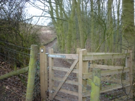
The Wolds Way towards Mount Airy Farm
-
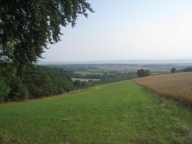
View towards the Humber
The Wolds Way towards Mount Airy Farm
View towards the Humber
Location and coordinates are for the approximate centre of Cliffs Plantation within this administrative area. Geographic features and populated places may cross administrative borders.