-
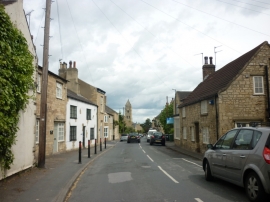
High Street, Clifford
-
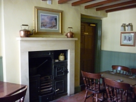
The Old Star Inn, a Sam Smith's pub in Clifford
High Street, Clifford
The Old Star Inn, a Sam Smith's pub in Clifford
Other current and historical names
Location and coordinates are for the approximate centre of Clifford within this administrative area. Geographic features and populated places may cross administrative borders.