-
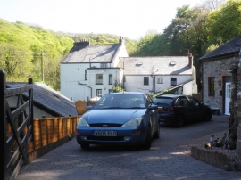
Score Farm
-
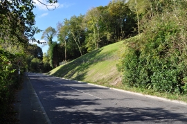
The site of a recent landslip on the A361 at Ilfracombe
Score Farm
The site of a recent landslip on the A361 at Ilfracombe
Location and coordinates are for the approximate centre of Cleave Wood within this administrative area. Geographic features and populated places may cross administrative borders.