-
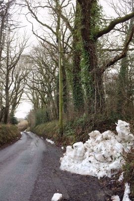
Snow by the lane through Common Plantation
-

Lane near Coltsfoot Farm
Snow by the lane through Common Plantation
Lane near Coltsfoot Farm
Location and coordinates are for the approximate centre of Claypark Copse within this administrative area. Geographic features and populated places may cross administrative borders.