-

Track in Sotby Wood
-
Bridleway south of Moor Farm
Track in Sotby Wood
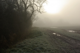
Bridleway south of Moor Farm
Location and coordinates are for the approximate centre of Clay Close Holt within this administrative area. Geographic features and populated places may cross administrative borders.