-

Claxby Wood: aerial 2014
-
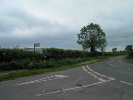
Road junction and finger post, Claxby
Claxby Wood: aerial 2014
Road junction and finger post, Claxby
Location and coordinates are for the approximate centre of Claxby Wood within this administrative area. Geographic features and populated places may cross administrative borders.