-
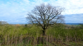
Oak tree surrounded by orchard
-
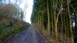
Bridleway on White Hill
Oak tree surrounded by orchard
Bridleway on White Hill
Location and coordinates are for the approximate centre of Clatterpark Wood within this administrative area. Geographic features and populated places may cross administrative borders.