-

Signs for the separation of M42 from M40
-
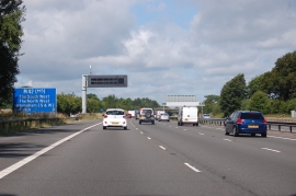
M42, 9 miles to Redditch
Signs for the separation of M42 from M40
M42, 9 miles to Redditch
Location and coordinates are for the approximate centre of Clarksland Coppice within this administrative area. Geographic features and populated places may cross administrative borders.