-
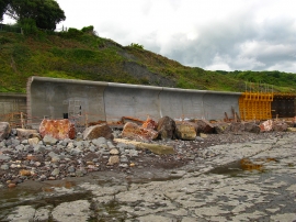
Lyme Regis new sea wall
-
Sea wall construction
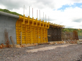
Lyme Regis new sea wall
Sea wall construction
Location and coordinates are for the approximate centre of Church Cliffs within this administrative area. Geographic features and populated places may cross administrative borders.