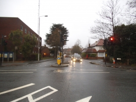
Chingford Green, Waltham Forest

« Gazetteer Entry
Upload Photo

Chingford Green, Waltham Forest

  • Built-Up Area: Waltham Forest
  • Parish/Community: Waltham Forest, unparished area
  • Unitary Authority: Waltham Forest
  • Region: London
  • Category: Populated Place
  • Type: Suburban Area
  • Latitude/Longitude: 51°37'50"N 0°0'7"W
  • Eastings/Northings: 538380, 194334
  • OS Grid: TQ383943
  • Mapcode Local: GBR KQ.XVG
  • Mapcode Global: VHGQG.X88N

Location and coordinates are for the approximate centre of Chingford Green within this administrative area. Geographic features and populated places may cross administrative borders.

BritishPlaceNames.uk is a Good Stuff website.