-
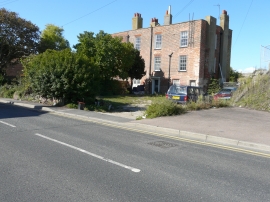
The back gardens of 124 & 126, Marine Parade, Sheerness
-
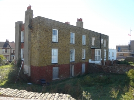
124 & 126, Marine Parade, Sheerness
The back gardens of 124 & 126, Marine Parade, Sheerness
124 & 126, Marine Parade, Sheerness
Location and coordinates are for the approximate centre of Cheyney Rock within this administrative area. Geographic features and populated places may cross administrative borders.