-
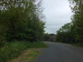
Woodland at the junction of Rebecca Road and Crabbe Lane
-
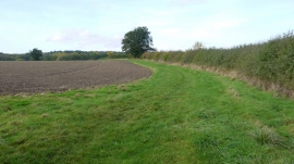
Footpath west
Woodland at the junction of Rebecca Road and Crabbe Lane
Footpath west
Location and coordinates are for the approximate centre of Chevington Rough within this administrative area. Geographic features and populated places may cross administrative borders.