-
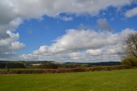
View over fields to Stratton
-
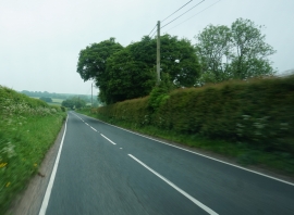
A352 towards Godmanstone
View over fields to Stratton
A352 towards Godmanstone
Location and coordinates are for the approximate centre of Cherry Close Coppice within this administrative area. Geographic features and populated places may cross administrative borders.