-
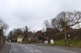
Bus stop at road junction in Charlton on the Hill
-
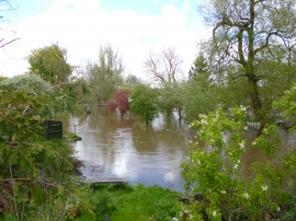
Charlton Marshall, flooded gardens
Bus stop at road junction in Charlton on the Hill
Charlton Marshall, flooded gardens
Location and coordinates are for the approximate centre of Charlton on the Hill within this administrative area. Geographic features and populated places may cross administrative borders.