-
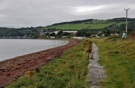
Fortrose Bay shoreline
-
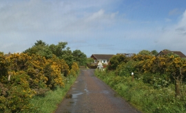
Junction of Wester Greengate & Ness Road
Fortrose Bay shoreline
Junction of Wester Greengate & Ness Road
Location and coordinates are for the approximate centre of Chanonry Ness within this administrative area. Geographic features and populated places may cross administrative borders.