-
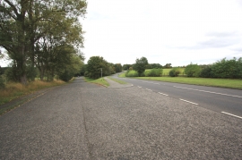
The A67 road near Yarm - old and new
-
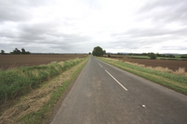
Minor road near Toft Hill
The A67 road near Yarm - old and new
Minor road near Toft Hill
Location and coordinates are for the approximate centre of Castlelevington within this administrative area. Geographic features and populated places may cross administrative borders.