-
A488 approaches un-named crossroads west of Acton House
-

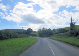
A488 north of Colstey Wood
A488 approaches un-named crossroads west of Acton House
A488 north of Colstey Wood
Location and coordinates are for the approximate centre of Captain's Coppice within this administrative area. Geographic features and populated places may cross administrative borders.