-

Lane beyond the eastern end of Mill Pond Road, Narberth
-
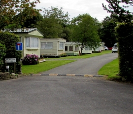
Brookside park homes, Narberth
Lane beyond the eastern end of Mill Pond Road, Narberth
Brookside park homes, Narberth
Location and coordinates are for the approximate centre of Camp Hill within this administrative area. Geographic features and populated places may cross administrative borders.