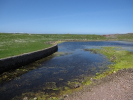
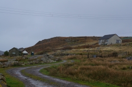
Camas Eilean Ghlais, Highland

« Gazetteer Entry
Upload Photo

Camas Eilean Ghlais, Highland

  • Unitary Authority: Highland
  • Region: Scotland
  • Category: Water Feature
  • Type: Bay
  • Latitude/Longitude: 58°4'49"N 5°27'25"W
  • Eastings/Northings: 196254, 915367
  • OS Grid: NB962153
  • Mapcode Local: GBR D7XC.F32
  • Mapcode Global: WH06G.45LB

Location and coordinates are for the approximate centre of Camas Eilean Ghlais within this administrative area. Geographic features and populated places may cross administrative borders.

BritishPlaceNames.uk is a Good Stuff website.