-
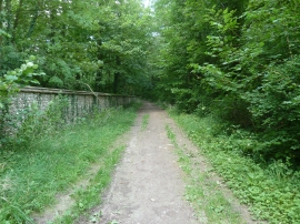
Bridleway passing Calhouns Plantation on the right
-
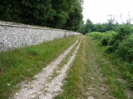
Wall round the West Dean Estate
Bridleway passing Calhouns Plantation on the right
Wall round the West Dean Estate
Location and coordinates are for the approximate centre of Calhouns Plantation within this administrative area. Geographic features and populated places may cross administrative borders.