-
Footbridge over beck
-

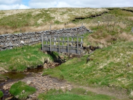
Ford and footbridge over Lambfold Gill
Footbridge over beck
Ford and footbridge over Lambfold Gill
Location and coordinates are for the approximate centre of Calf Moss within this administrative area. Geographic features and populated places may cross administrative borders.