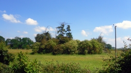
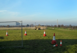
Cadwell Covert, Oxfordshire

« Gazetteer Entry
Upload Photo

Cadwell Covert, Oxfordshire

  • Parish/Community: Chalgrove
  • District/Borough: South Oxfordshire
  • County: Oxfordshire
  • Region: South East
  • Category: Landcover
  • Type: Forest or Wood
  • Latitude/Longitude: 51°39'18"N 1°4'43"W
  • Eastings/Northings: 463829, 195557
  • OS Grid: SU638955
  • Mapcode Local: GBR B1V.436
  • Mapcode Global: VHCYB.8N2H

Location and coordinates are for the approximate centre of Cadwell Covert within this administrative area. Geographic features and populated places may cross administrative borders.

BritishPlaceNames.uk is a Good Stuff website.