-
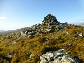
Cairn On The NNE Flank Of M
-
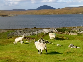
Sheep Folds At Bruinagil
Cairn On The NNE Flank Of M
Sheep Folds At Bruinagil
Location and coordinates are for the approximate centre of Cadha Cleit within this administrative area. Geographic features and populated places may cross administrative borders.