-
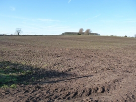
The gentle slopes of Cadborough Hill
-
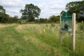
The path to Valley Road by Cadborough Hill Wood
The gentle slopes of Cadborough Hill
The path to Valley Road by Cadborough Hill Wood
Location and coordinates are for the approximate centre of Cadborough Hill within this administrative area. Geographic features and populated places may cross administrative borders.