-
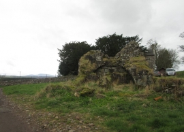
Scant ruins of old tower at Westhall Farm in South Lanarkshire
-
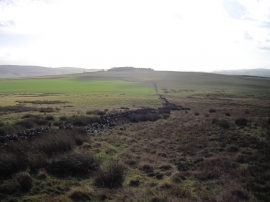
Easthills
Scant ruins of old tower at Westhall Farm in South Lanarkshire
Easthills
Location and coordinates are for the approximate centre of Cableburn Wood within this administrative area. Geographic features and populated places may cross administrative borders.