-

Farmland above the Golden Valley
-
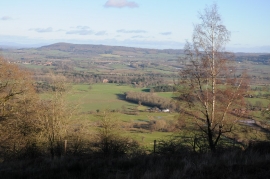
View over Moccas
Farmland above the Golden Valley
View over Moccas
Location and coordinates are for the approximate centre of Butler's Coppice within this administrative area. Geographic features and populated places may cross administrative borders.