-
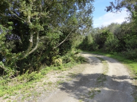
The lane round Bussow reservoir
-
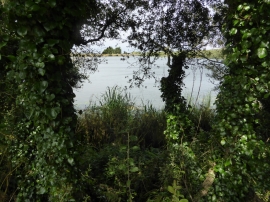
Bussow reservoir
The lane round Bussow reservoir
Bussow reservoir
Location and coordinates are for the approximate centre of Bussow Moor within this administrative area. Geographic features and populated places may cross administrative borders.