-
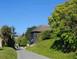
The village street, Bury
-
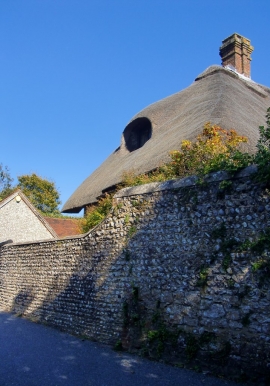
Bury: flint cobble wall and thatched roof
The village street, Bury
Bury: flint cobble wall and thatched roof
Location and coordinates are for the approximate centre of Bury Hollow within this administrative area. Geographic features and populated places may cross administrative borders.