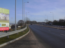
Bury Ground, Bury

« Gazetteer Entry
Upload Photo

Bury Ground, Bury

Other current and historical names

  • Woodhill
  • Built-Up Area: Bury
  • Parish/Community: Bury, unparished area
  • Unitary Authority: Bury
  • Region: North West
  • Category: Populated Place
  • Type: Suburban Area
  • Latitude/Longitude: 53°35'41"N 2°18'11"W
  • Eastings/Northings: 380024, 410957
  • OS Grid: SD800109
  • Mapcode Local: GBR DVCW.42
  • Mapcode Global: WH97Q.LXF1

Location and coordinates are for the approximate centre of Bury Ground within this administrative area. Geographic features and populated places may cross administrative borders.

BritishPlaceNames.uk is a Good Stuff website.