-
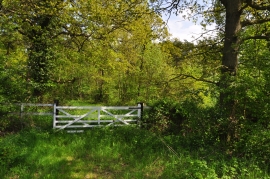
Gate to woodland - Silk Willoughby
-
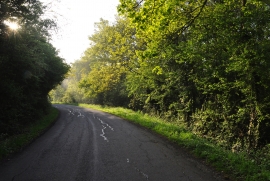
Whitecross Lane - Willoughby Gorse
Gate to woodland - Silk Willoughby
Whitecross Lane - Willoughby Gorse
Location and coordinates are for the approximate centre of Burton Plantation within this administrative area. Geographic features and populated places may cross administrative borders.