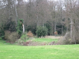
Burringham Wood, South Bucks

« Gazetteer Entry
Upload Photo

Burringham Wood, South Bucks

  • Built-Up Area: Waltham St Lawrence
  • Parish/Community: Waltham St. Lawrence
  • Unitary Authority: South Bucks
  • Region: South East
  • Category: Landcover
  • Type: Forest or Wood
  • Latitude/Longitude: 51°29'8"N 0°47'46"W
  • Eastings/Northings: 483673, 177004
  • OS Grid: SU836770
  • Mapcode Local: GBR D6T.X1D
  • Mapcode Global: VHDWQ.4XVC

Location and coordinates are for the approximate centre of Burringham Wood within this administrative area. Geographic features and populated places may cross administrative borders.

BritishPlaceNames.uk is a Good Stuff website.