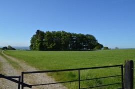
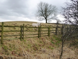
Burnet Plantations, North Yorkshire

« Gazetteer Entry
Upload Photo

Burnet Plantations, North Yorkshire

  • Parish/Community: Barden
  • District/Borough: Richmondshire
  • County: North Yorkshire
  • Region: Yorkshire and the Humber
  • Category: Landcover
  • Type: Forest or Wood
  • Latitude/Longitude: 54°20'35"N 1°45'13"W
  • Eastings/Northings: 416106, 494209
  • OS Grid: SE161942
  • Mapcode Local: GBR JL66.3V
  • Mapcode Global: WHC6S.1348

Location and coordinates are for the approximate centre of Burnet Plantations within this administrative area. Geographic features and populated places may cross administrative borders.

BritishPlaceNames.uk is a Good Stuff website.