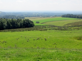
Bull Shed Plantation, Lancashire

« Gazetteer Entry
Upload Photo

Bull Shed Plantation, Lancashire

  • Parish/Community: Bleasdale
  • District/Borough: Wyre
  • County: Lancashire
  • Region: North West
  • Category: Landcover
  • Type: Forest or Wood
  • Latitude/Longitude: 53°54'33"N 2°41'6"W
  • Eastings/Northings: 355085, 446114
  • OS Grid: SD550461
  • Mapcode Local: GBR 9RP7.GD
  • Mapcode Global: WH851.Q0JG

Location and coordinates are for the approximate centre of Bull Shed Plantation within this administrative area. Geographic features and populated places may cross administrative borders.

BritishPlaceNames.uk is a Good Stuff website.