-
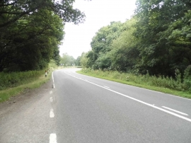
The A272, Strood Green
-
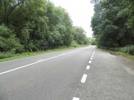
The A272, Strood Green
The A272, Strood Green
The A272, Strood Green
Location and coordinates are for the approximate centre of Bulchin's Copse within this administrative area. Geographic features and populated places may cross administrative borders.