-

Looking towards the Thames from near Upper Ifield
-
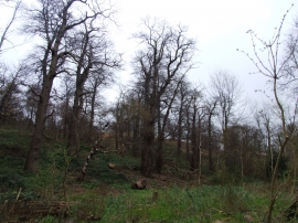
Shorne Woods
Looking towards the Thames from near Upper Ifield
Shorne Woods
Location and coordinates are for the approximate centre of Brummelhill Wood within this administrative area. Geographic features and populated places may cross administrative borders.