-

Old Garage, Cairnhill
-
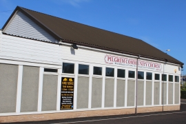
Pilgrim Community Church, Cairnhill Road, Airdrie
Old Garage, Cairnhill
Pilgrim Community Church, Cairnhill Road, Airdrie
Other current and historical names
Location and coordinates are for the approximate centre of Brownsburn within this administrative area. Geographic features and populated places may cross administrative borders.