-
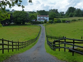
Overhill Farm near Kingsford
-
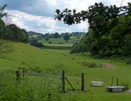
Shallow valley near Kinver Edge
Overhill Farm near Kingsford
Shallow valley near Kinver Edge
Location and coordinates are for the approximate centre of Brown's Dingle within this administrative area. Geographic features and populated places may cross administrative borders.