-
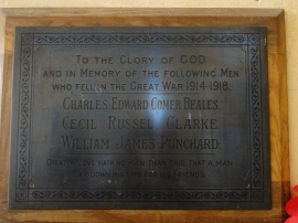
Morton-on-the-Hill WW1 War Memorial
-
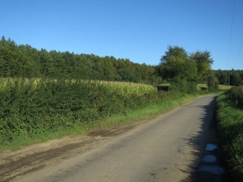
Maize by Ringland Lane
Morton-on-the-Hill WW1 War Memorial
Maize by Ringland Lane
Location and coordinates are for the approximate centre of Broom Hills within this administrative area. Geographic features and populated places may cross administrative borders.