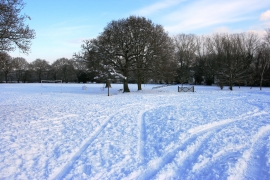
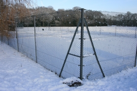
Brookwood, Surrey

« Gazetteer Entry
Upload Photo

Brookwood, Surrey

  • Built-Up Area: Woking
  • Parish/Community: Woking, unparished area
  • District/Borough: Woking
  • County: Surrey
  • Region: South East
  • Category: Populated Place
  • Type: Other Settlement
  • Latitude/Longitude: 51°18'31"N 0°37'52"W
  • Eastings/Northings: 495500, 157500
  • OS Grid: SU955575
  • Mapcode Local: GBR FBH.WRW
  • Mapcode Global: VHFV7.0CMN

Location and coordinates are for the approximate centre of Brookwood within this administrative area. Geographic features and populated places may cross administrative borders.

BritishPlaceNames.uk is a Good Stuff website.