-
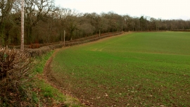
Field by Pikes Hill
-
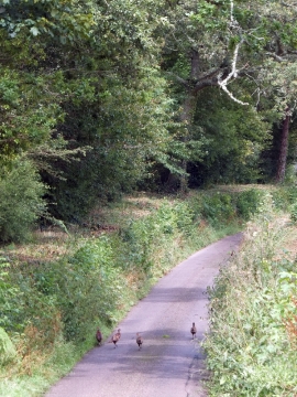
Hen pheasants on Pike Hill
Field by Pikes Hill
Hen pheasants on Pike Hill
Location and coordinates are for the approximate centre of Brookcorner Plantation within this administrative area. Geographic features and populated places may cross administrative borders.