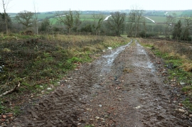
Broadpark Plantation, Devon

« Gazetteer Entry
Upload Photo

Broadpark Plantation, Devon

  • Parish/Community: Colebrooke
  • District/Borough: Mid Devon
  • County: Devon
  • Region: South West
  • Category: Landcover
  • Type: Forest or Wood
  • Latitude/Longitude: 50°47'6"N 3°46'1"W
  • Eastings/Northings: 275534, 99893
  • OS Grid: SX755998
  • Mapcode Local: GBR L4.ZTRP
  • Mapcode Global: FRA 3700.D8N

Location and coordinates are for the approximate centre of Broadpark Plantation within this administrative area. Geographic features and populated places may cross administrative borders.

BritishPlaceNames.uk is a Good Stuff website.