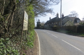
Brierhill Wood, Dorset

« Gazetteer Entry
Upload Photo

Brierhill Wood, Dorset

  • Parish/Community: Leweston
  • District/Borough: West Dorset
  • County: Dorset
  • Region: South West
  • Category: Landcover
  • Type: Forest or Wood
  • Latitude/Longitude: 50°54'44"N 2°30'55"W
  • Eastings/Northings: 363853, 112663
  • OS Grid: ST638126
  • Mapcode Local: GBR MV.QSLD
  • Mapcode Global: FRA 56MP.MS5

Location and coordinates are for the approximate centre of Brierhill Wood within this administrative area. Geographic features and populated places may cross administrative borders.

BritishPlaceNames.uk is a Good Stuff website.