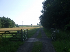
Brick Pits Plantation, Lincolnshire

« Gazetteer Entry
Upload Photo

Brick Pits Plantation, Lincolnshire

  • Parish/Community: East Barkwith
  • District/Borough: East Lindsey
  • County: Lincolnshire
  • Region: East Midlands
  • Category: Landcover
  • Type: Forest or Wood
  • Latitude/Longitude: 53°18'21"N 0°14'2"W
  • Eastings/Northings: 517767, 380236
  • OS Grid: TF177802
  • Mapcode Local: GBR VZT6.3L
  • Mapcode Global: WHHK2.C5RD

Location and coordinates are for the approximate centre of Brick Pits Plantation within this administrative area. Geographic features and populated places may cross administrative borders.

BritishPlaceNames.uk is a Good Stuff website.