-

Cow Close Wood, SSSI in NYM NP
-
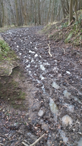
Mud Bath
Cow Close Wood, SSSI in NYM NP
Mud Bath
Location and coordinates are for the approximate centre of Breckon's Wood within this administrative area. Geographic features and populated places may cross administrative borders.